18-07-2026
Geospatial Explorer
Last time I looked into OSM[1] geospatial data, it was a long time ago. But every time I do it, I feel so amazed! I have always been quite fascinated by maps in general. But now that I have been bikepacking, I have a very different connection to places and regions, and on top of that, having incredibly well made maps by OpenStreetMaps community, and being able to play with the map, with my own code; I love it!
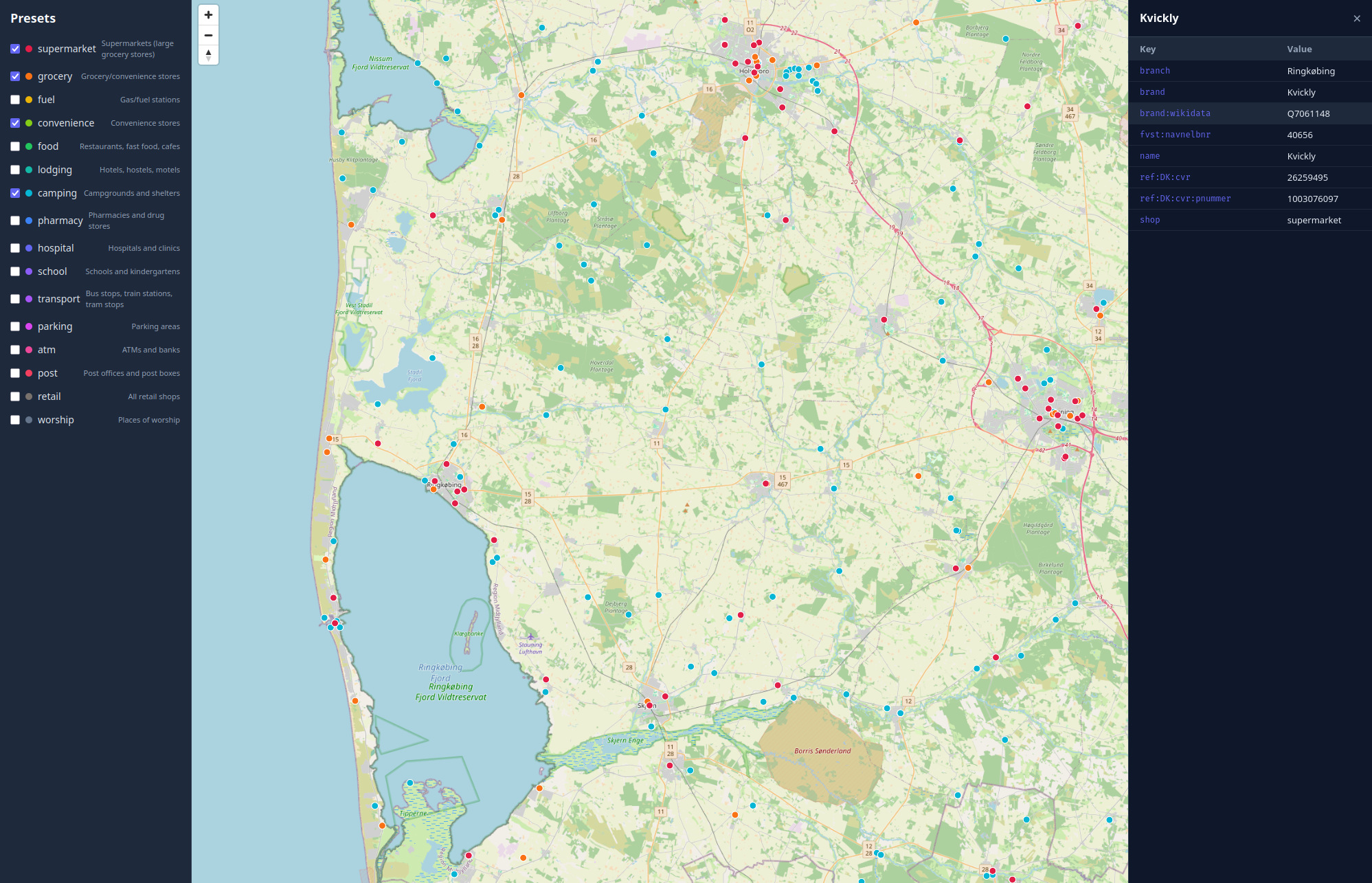
Since yesterday, I have been trying to build a bikepacking planning tool. I tried QGIS yesterday, and it was too much, and I gave up quickly! Today I started writing a tool to explore POIs. Vibe coded most of it, but it works quite well. At least now I have some handle on how I can go forward with my project. With unknown big datasets, specially geospatial data, it is usually difficult for me to find a direction. So a self-made exploration tool is quite welcome.
One thing I am seeing; specially with LLMs, it is better if I do not work continuously on a project, but split it down to chunks that are not only digestable, but also doable in one quick sitting, even timebox it. And then I spend quite a bit of time just steeping the problem in my mind. This way, when I sit down next time, I not only get a very specific thing I want to do, or try out, I would have been explored the problem space quite a bit. Also limiting my time in front of computer also frees up more thinking time, and not endlessly go into a loop of cleanup & slop creation. I suppose this is what Rich Hickey called, Hammock Driven Development. Doing nothing has it's perks too.
OSM: OpenStreetMaps ↩︎